The Earth writes in clouds, coastlines and rock. Here's how to read it.
On the map
Contours & Charts
How to read contour lines, shaded relief, topographic map symbols and the errors kept on old printed maps, with each drawn map checked against its elevation data; no route or navigation advice and no disputed borders.
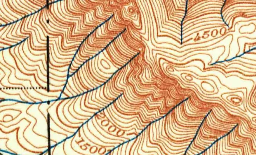
Where a contour line crosses a stream, it bends upstream, often into a point. How to read that V, line spacing and the contour interval on a USGS map.
Image credit
"Skykomish, Washington, topographic sheet (detail near Baring), 1902" by U.S. Geological Survey — https://commons.wikimedia.org/wiki/File:1902_USGS_topo_map_of_Baring,_Washington.jpg — Public domain (US: U.S. Government work (17 U.S.C. §105), USGS topographic sheet published 1902; EU: published 1902 by a U.S. federal agency, more than 70 years ago); modified: cropped
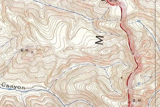
"Teton Range crest (detail), from Grand Teton Quadrangle, Wyoming, USGS topographic sheet, 1929 printing" by U.S. Geological Survey — https://commons.wikimedia.org/wiki/File:1929_U.S.G.S._Map_of_Grand_Teton_National_Park,_Wyoming_-_Geographicus_-_GrandTeton-USGS-1929.jpg — Public domain (US: U.S. Government work (17 U.S.C. §105), USGS topographic sheet surveyed 1899 and first published 1901, this printing 1929 with National Park Service additions; EU: published by U.S. federal agencies more than 70 years ago); modified: cropped, rotated
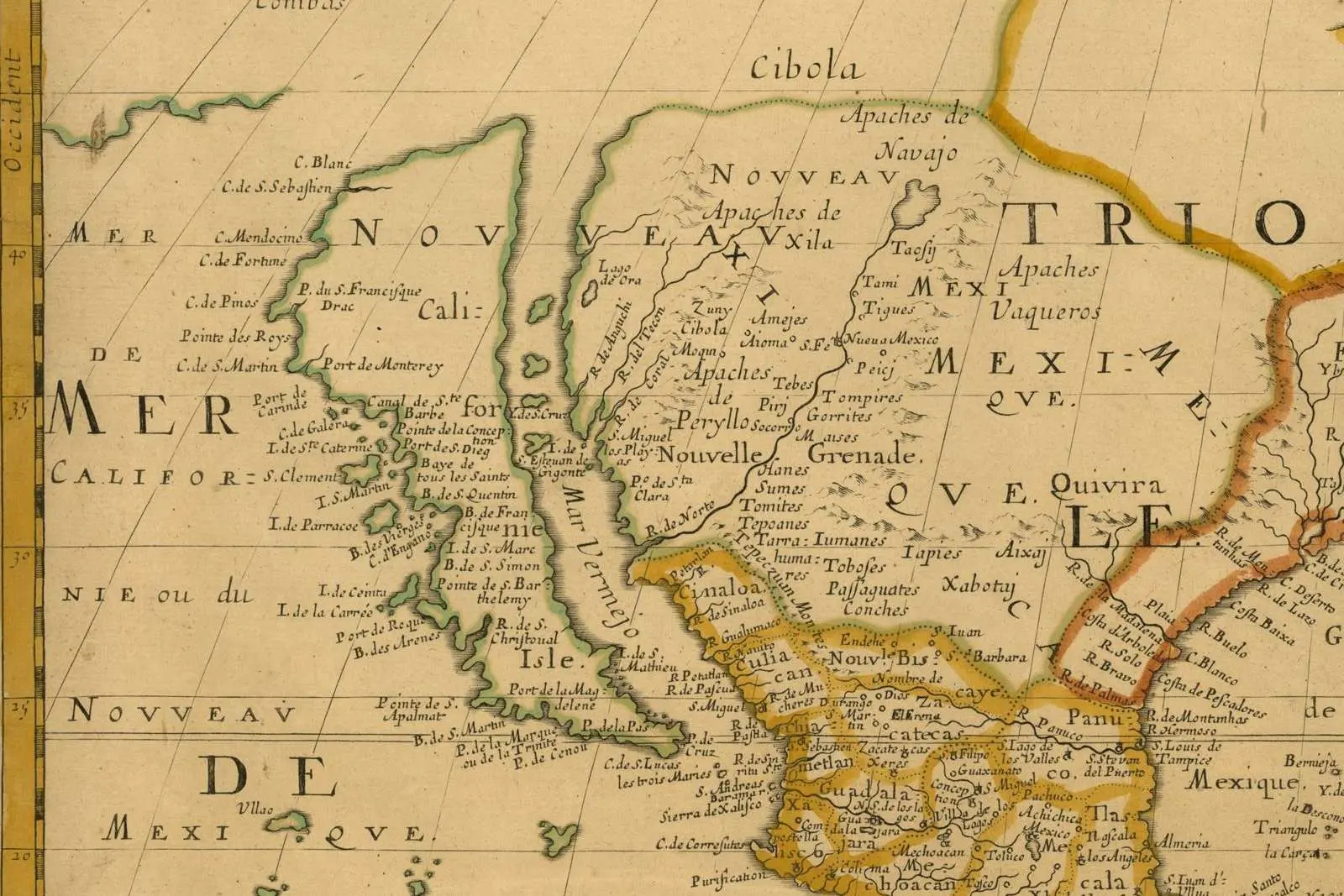
"Amerique Septentrionale (detail: California and the Mar Vermejo), map by Nicolas Sanson, Paris, 1650" by Nicolas Sanson — https://commons.wikimedia.org/wiki/File:Sanson_Amerique_Septentrionale_1650_UTA.jpg — Public domain (US: first published 1650, before 1931; EU: mapmaker Nicolas Sanson died 1667, more than 70 years ago); modified: cropped, resized
Count this visit?
Yes lets Google Analytics set a cookie that counts visits. Cloudflare Web Analytics, which uses no cookie, runs either way; there are no ads. Footprint of a visit