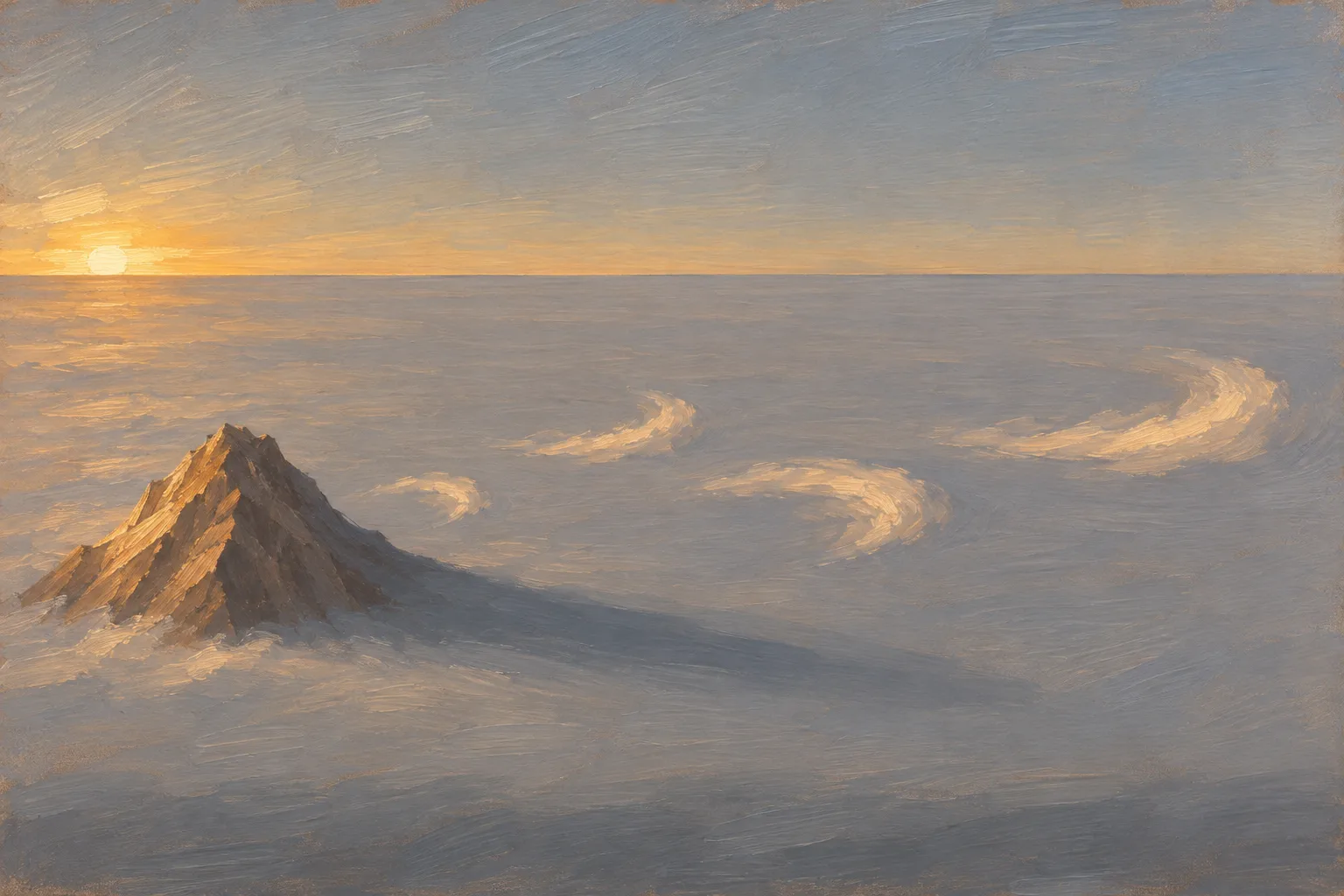
The Earth writes in clouds, coastlines and rock. Here's how to read it.
From orbit
Read from Orbit
Large landforms and air patterns read in Copernicus Sentinel-2 and NOAA GOES imagery, such as oxbow lakes, alluvial fans, atmospheric rivers and vortex streets behind islands, where every landform claim rests on a published location; no forecasts, hazard advice or features too small for 10-meter pixels.
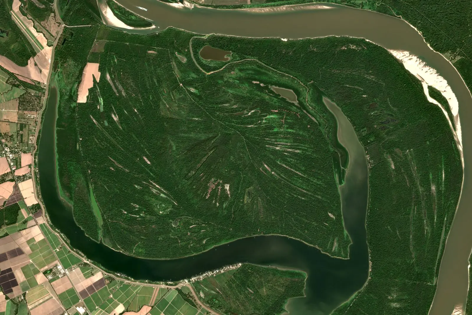
How a looping river cuts off one of its own bends and leaves an oxbow lake, read from orbit at Raccourci Lake beside the Mississippi in Sentinel-2 images.
Image credit
"Raccourci Lake (Old River), Louisiana true-color composite, Sentinel-2 L2A scene S2A_T15RXQ_20241021T165322_L2A via Earth Search (Element 84)" by Meridian & Moraine — https://earth-search.aws.element84.com/v1/collections/sentinel-2-c1-l2a/items/S2A_T15RXQ_20241021T165322_L2A — Copernicus Sentinel data legal notice (https://sentinels.copernicus.eu/documents/247904/690755/Sentinel_Data_Legal_Notice); modified: cropped, resampled, color-stretched; rights notice: Contains modified Copernicus Sentinel data 2024
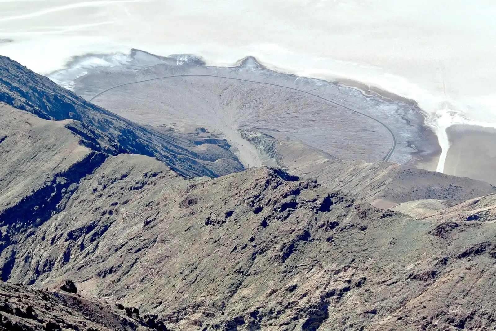
"Death Valley Alluvial Fan from Dante's View" by Wilson44691 — https://commons.wikimedia.org/wiki/File:Death_Valley_Alluvial_Fan_from_Dante%27s_View.JPG — CC0 1.0 (https://creativecommons.org/publicdomain/zero/1.0/); modified: cropped, resized
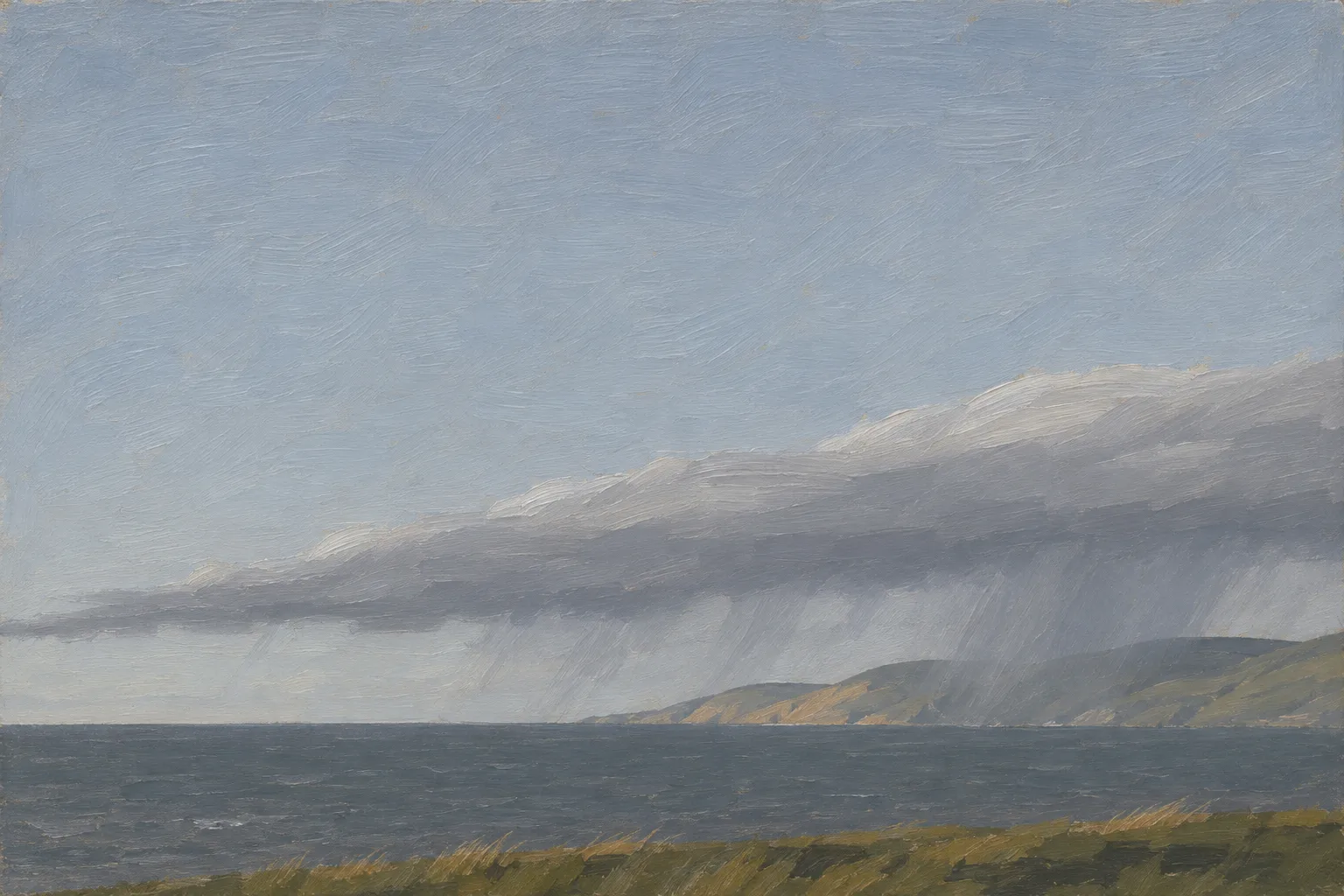
Illustration: Meridian & Moraine. Generated illustration — not a photograph, satellite image or map; not to scale. Reuse: CC BY 4.0 (https://creativecommons.org/licenses/by/4.0/) to the extent any rights apply.
A von Kármán vortex street is two staggered rows of eddies behind an obstacle, like the line of swirls GOES-18 caught in low cloud off Guadalupe Island.
Image credit (illustration)
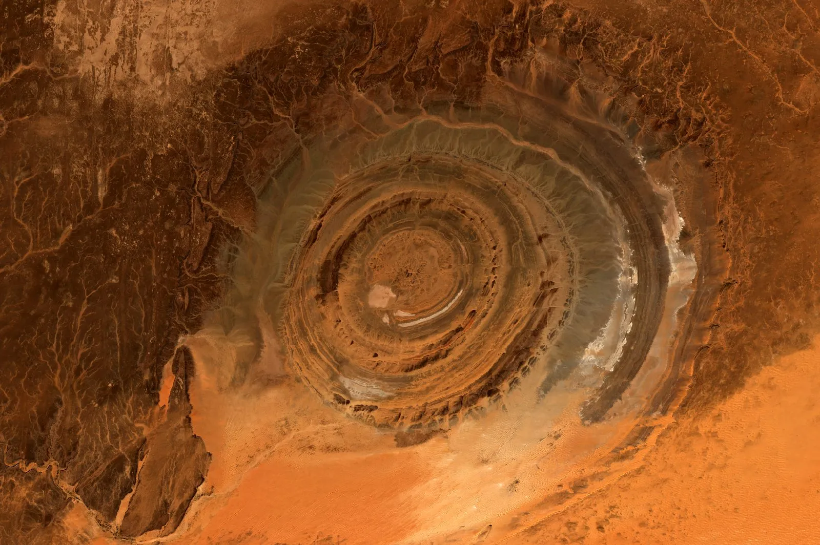
Illustration: Meridian & Moraine. Generated illustration — not a photograph, satellite image or map; not to scale. Reuse: CC BY 4.0 (https://creativecommons.org/licenses/by/4.0/) to the extent any rights apply.
Count this visit?
Yes lets Google Analytics set a cookie that counts visits. Cloudflare Web Analytics, which uses no cookie, runs either way; there are no ads. Footprint of a visit