The Earth writes in clouds, coastlines and rock. Here's how to read it.
At the outcrop
Reading Rock Layers
Outcrops, unconformities, folds, columnar joints and geologic maps read as a record of time, seen from safe viewpoints and checked against geological survey publications; no climbing or rock collecting, and nothing on what the ground is worth for minerals, energy or property.
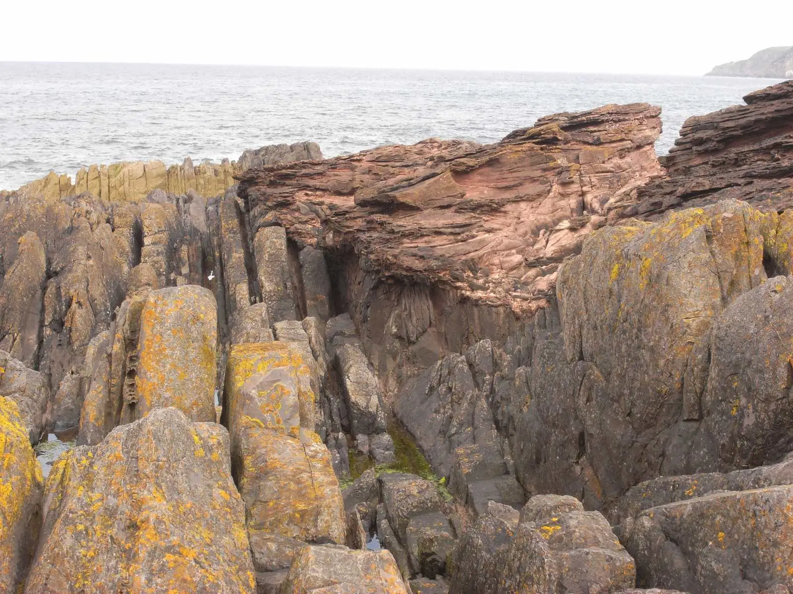
At Siccar Point, gray beds standing almost on end meet red sandstone above. How one angular unconformity records four events, and what Playfair saw in 1788.
Image credit
"Hutton’s Unconformity at Siccar Point, Scotland" by Lysippos — https://commons.wikimedia.org/wiki/File:Hutton%27s_unconformity_siccar_point.JPG — CC BY 3.0 (https://creativecommons.org/licenses/by/3.0/); modified: resized
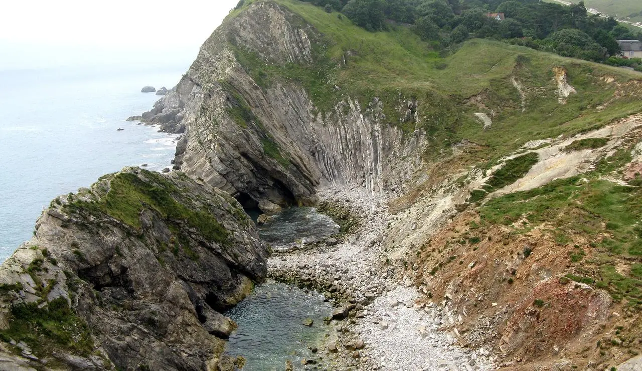
"West end of Stair Hole, Lulworth, Dorset, England" by Adrian Pingstone — https://commons.wikimedia.org/wiki/File:West_end_of_Stair_Hole,_Dorset,_England_arp.jpg — Public domain (US and EU: released into the public domain worldwide by the photographer, Adrian Pingstone, as stated on the Commons file page); modified: cropped, resized
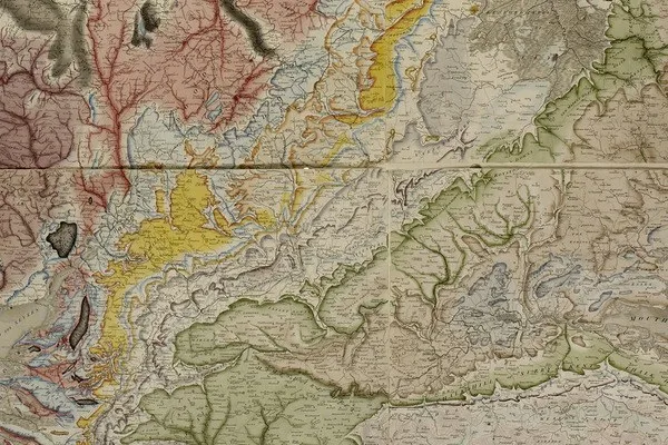
"A Delineation of the Strata of England and Wales, with part of Scotland (detail)" by William Smith (1769–1839); British Library — https://commons.wikimedia.org/wiki/File:Geological_map_-_William_Smith,_1815_-_BL.jpg — CC0 1.0 (https://creativecommons.org/publicdomain/zero/1.0/); modified: cropped
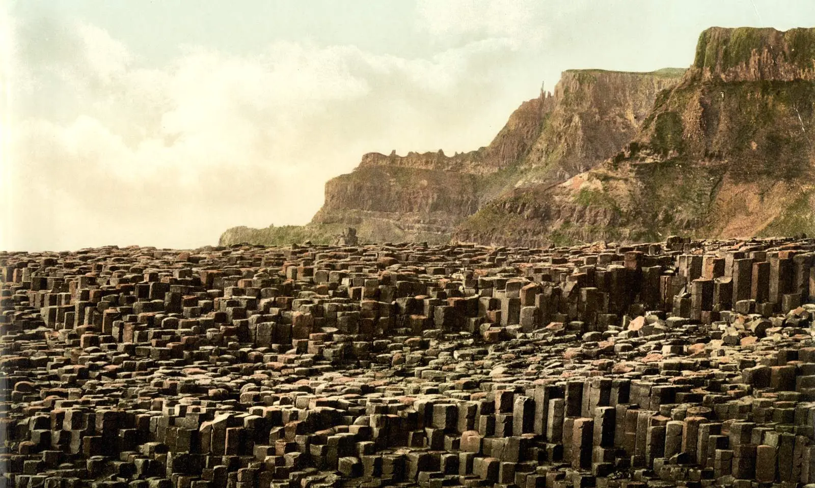
"Giant's Causeway, County Antrim, Ireland, photochrom published by the Detroit Publishing Co. under license from Photoglob Zürich" by Unknown author — https://commons.wikimedia.org/wiki/File:Giant%27s_Causeway,_County_Antrim,_Ireland,_1890s.jpg — Public domain (US: published before 1931 (photochrom printed between 1890 and 1900); EU: anonymous work, photographer not named, first published more than 70 years ago); modified: cropped, resized
Count this visit?
Yes lets Google Analytics set a cookie that counts visits. Cloudflare Web Analytics, which uses no cookie, runs either way; there are no ads. Footprint of a visit